TerraInsight.com > About
Terra > Technology > STeP®
STeP®
![]()
| STeP®
- Sub
Terrain Prospecting |
|
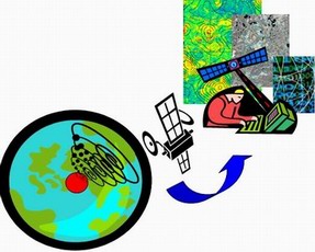
STeP® - Sub Terrain Prospecting, is a proprietary, remote sensing and analytical technology which interprets and quantifies various natural phenomena manifest at the surface using sophisticated algorithms and models, such phenomena being directly linked to subsurface hydrocarbon-bearing geological features. Most of the data is acquired via satellite. STeP integrates tectonic, morphological, structural, and spectral models which assess and determine the presence of hydrocarbon structures/anomalies, on or off shore. While Remote Earth Sensing (RES) is not new, STeP introduces extremely effective analytical and interpretative processes that render its brand of remote sensing far more informative and accurate than the options offered by competitors. STeP provides important information relevant to determining the location, depth and, at times, thickness of subsurface hydrocarbon accumulations. STeP uses extremely sophisticated data-mining techniques including Kohonen artificial neural nets (also known as self-organizing maps), pattern recognition techniques and fuzzy logic. STeP consists of five remotely administered methods:
The results of these independently operated methods are integrated into actionable,
high-value analysis and conclusions. |
|